The Napoleon Trail near Jena
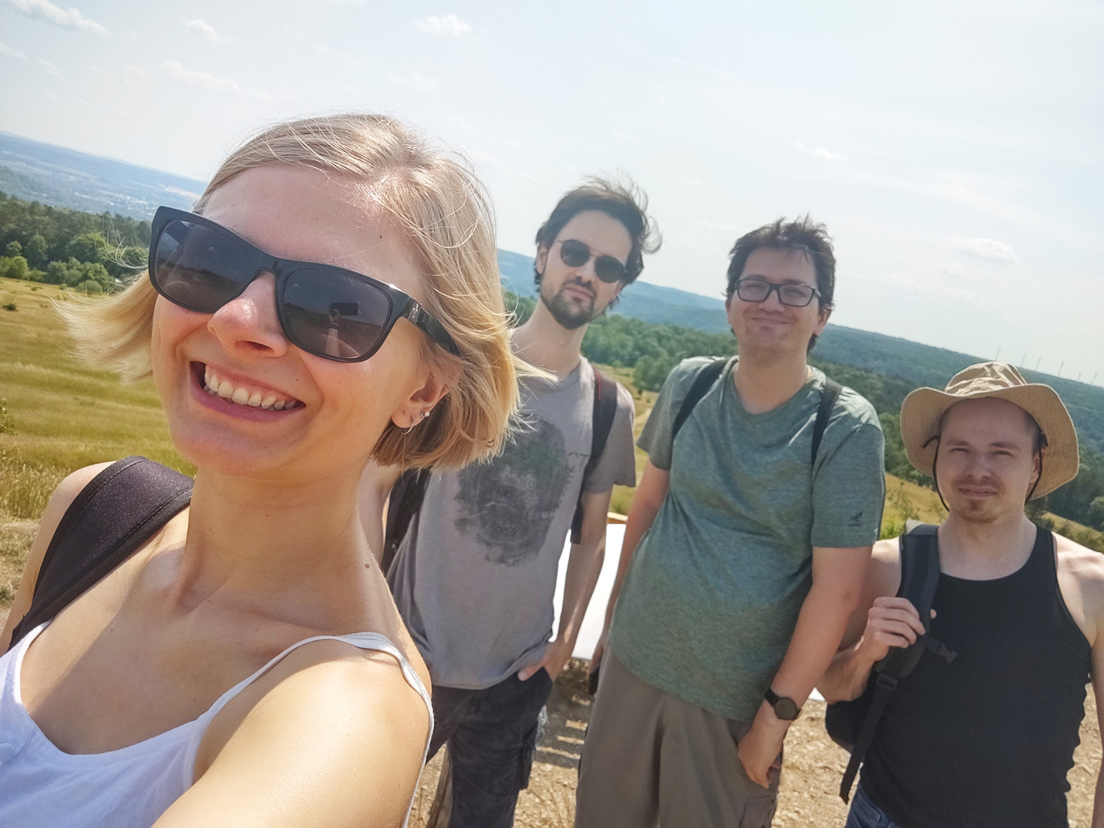
The Napoleonpfad is an approximately 8km circular hiking trail near Jena that Nathalie, René, Dominik, and I hiked recently. But first, how did we come to choose this particular trail to hike?
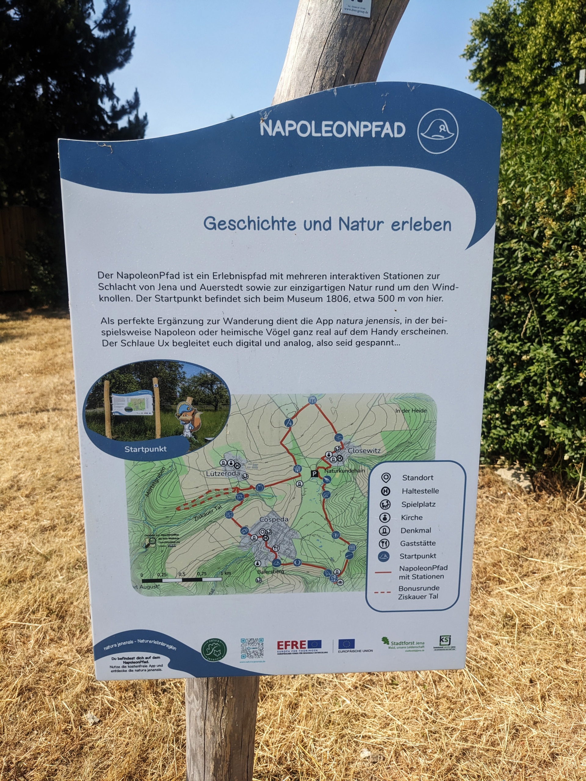
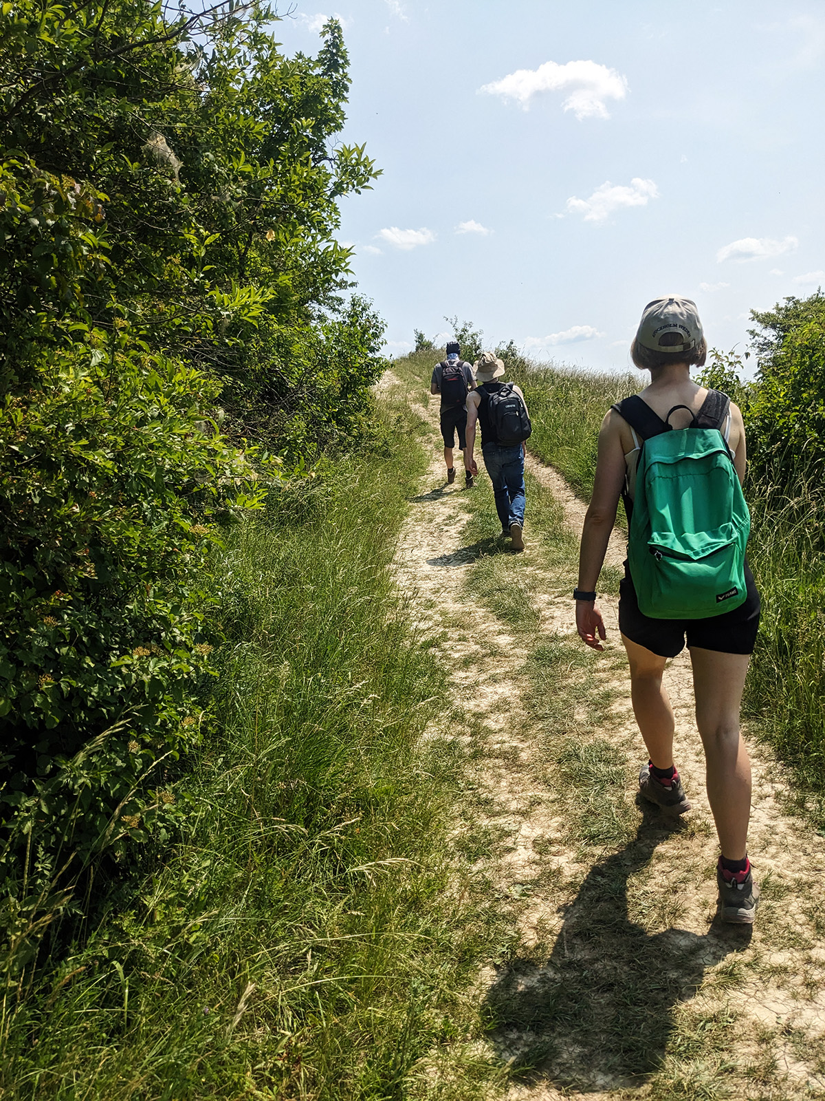
We had already been hiking twice in Jena. Once on the Jenzig-Hufeisen-Kunitz trail and once on a trail near René’s place. During the second hike, we noticed that we intersected with another hiking trail, and even more exciting, René mentioned that he had developed an app for that particular trail at his company! Of course, for Nathalie, that was reason enough (as if she needed any reason in general to go hiking) to explore this trail and try out the (free) app. So, we made plans to meet up with René and Dominik on a sunny weekend (oh dear, it was over 28°C!) and took the train to Jena, followed by a bus to the district of Cospeda, where the Napoleonpfad starts.
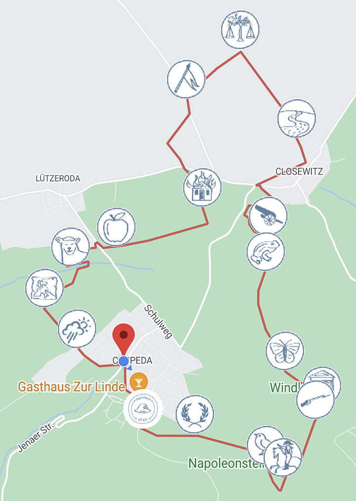
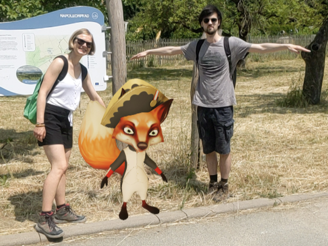
Just a few meters away from the bus stop, we found the starting point with the first trail markers. There, we also discovered the first Augmented Reality (AR) code (the symbols you see on the map) and scanned it right away. We were greeted by Ux, a clever fox mascot, who introduced us to the theme of the trail and its various stations. We captured this initial encounter with the AR elements through a screenshot and a photo. Little did we know that Dominik striking a T-pose was already a subtle hint of what was yet to come…
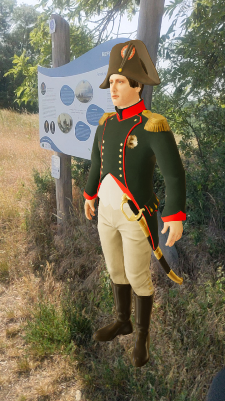
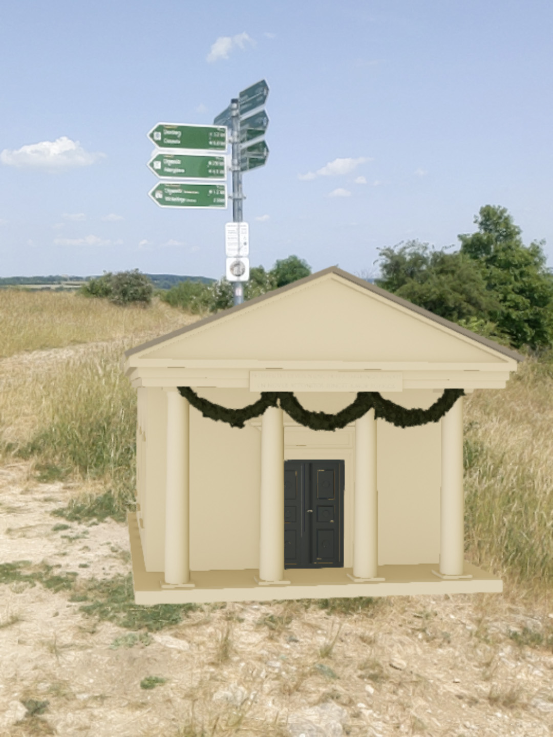
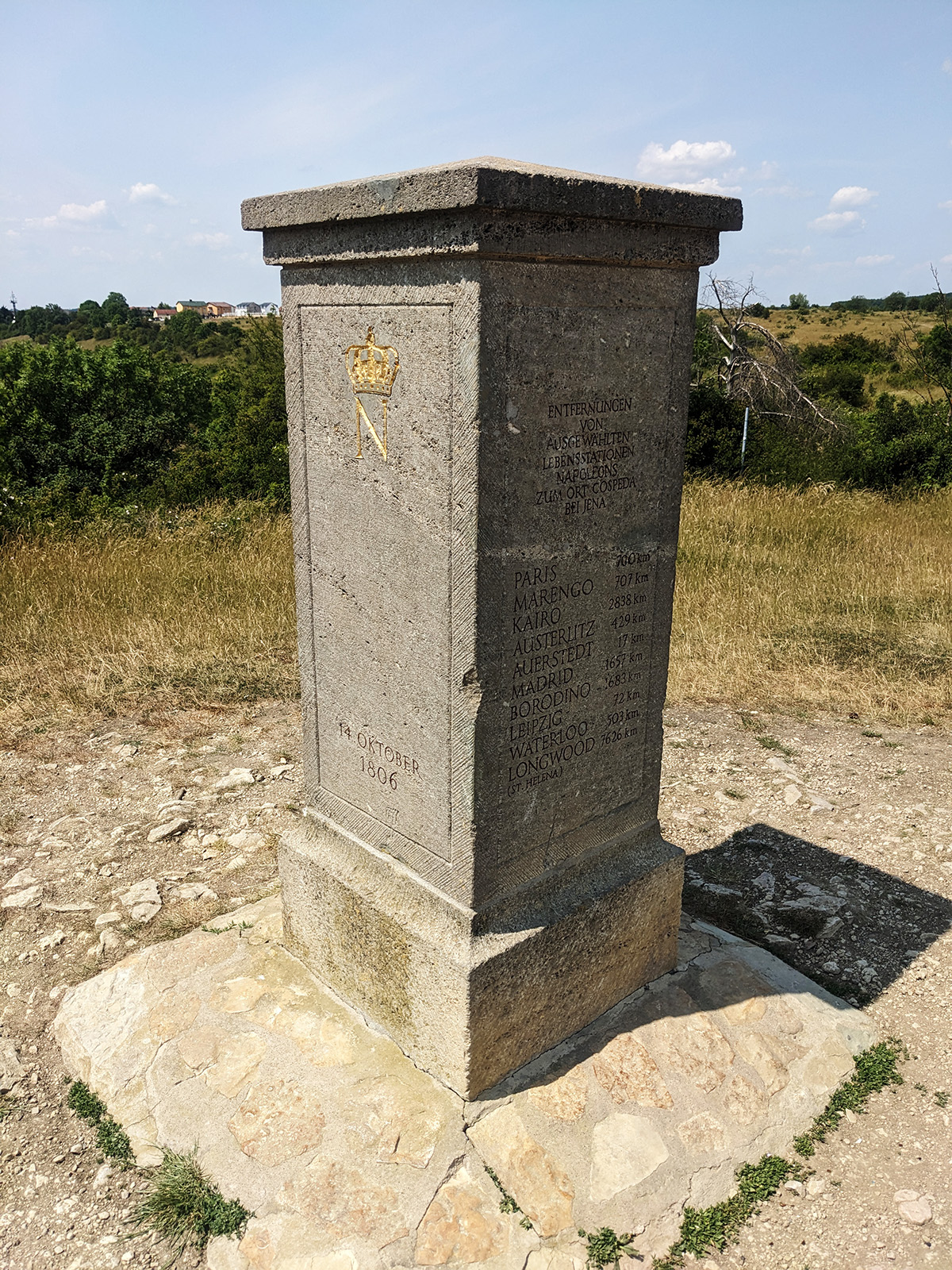
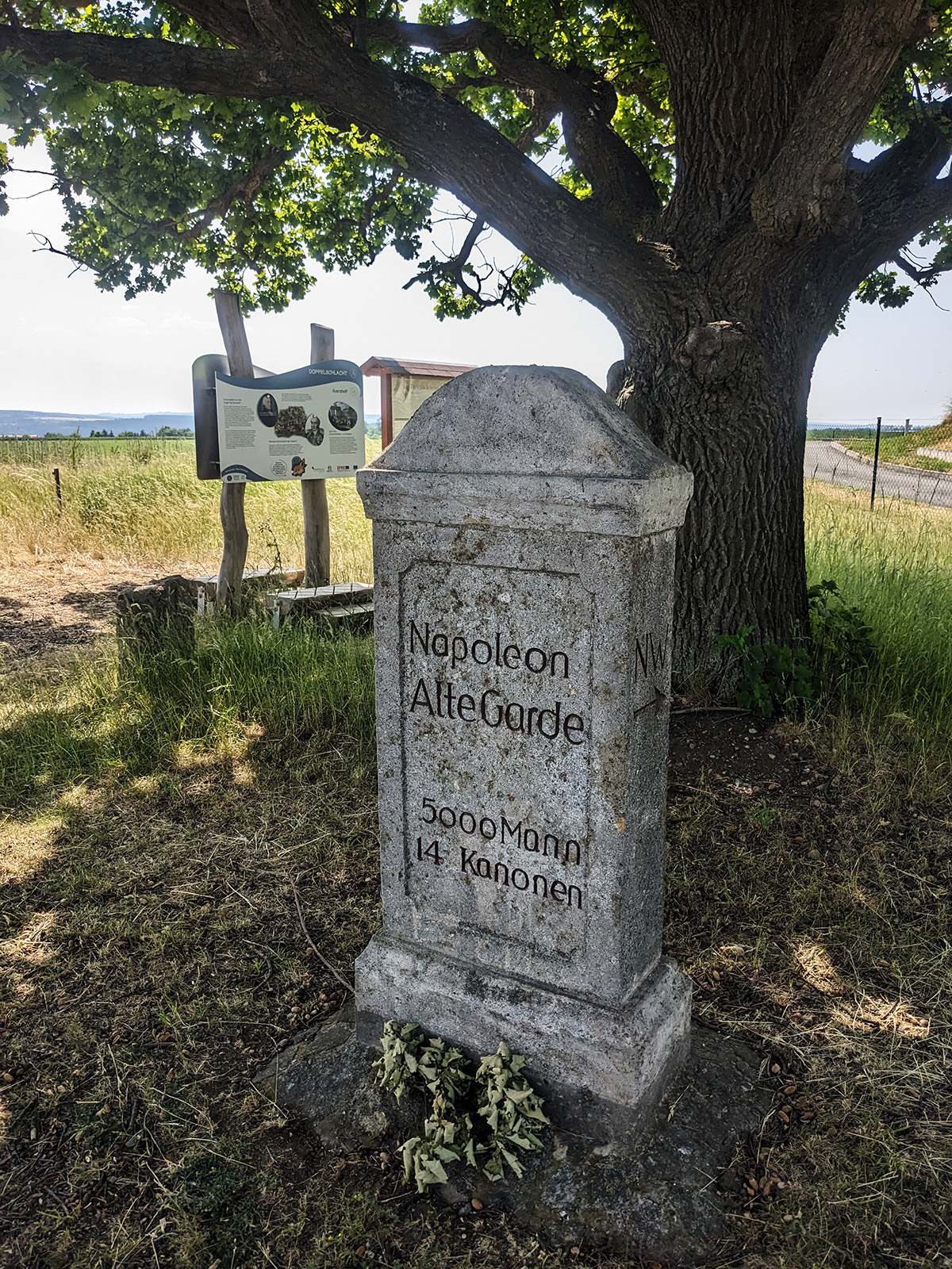
Approximately every 500 meters, there was a new sign, although not all of them had an AR code. At the second station, we were greeted by none other than Napoleon himself. He narrated his story to us in a very stereotypical French dialect. The animations were rather simple, with his mouth moving roughly in sync with his speech. René clarified that he had nothing to do with the 3D models and animations. He was solely responsible for the app itself, including the AR codes, while all the graphical elements were provided by a contracted company and loaded into the app by him.
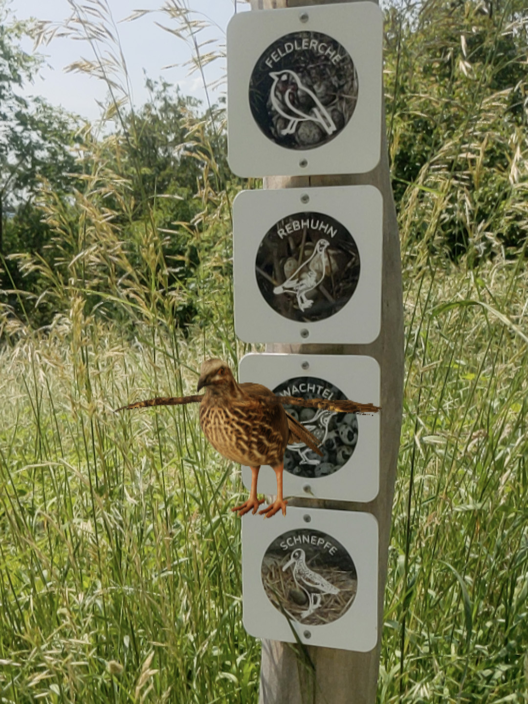
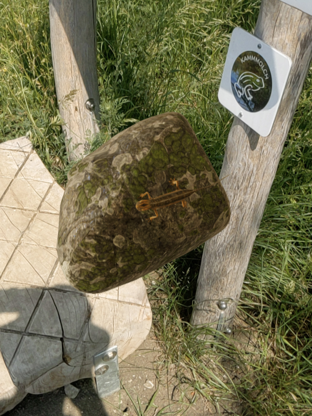
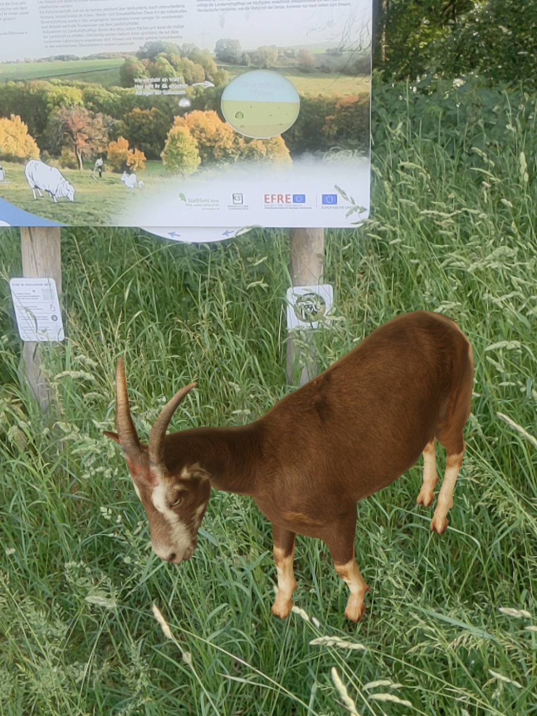
We encountered numerous stations along the way, and those equipped with AR codes displayed 3D models of animals, plants, or buildings. The animal models often appeared in a T-pose, which led us to wonder if there were no animations available for them. However, René assured us that this was not the case; they simply lacked animations. While scanning the AR codes and loading the sometimes large models, we encountered two issues. Firstly, some models were either too small or too large, making them difficult to see (like a life-sized butterfly) or requiring us to take several steps back (like a house). Secondly, the app crashed at least four times while attempting to load models along the trail. One could possibly attribute this to using an outdated smartphone, but my Pixel 4A is not that old and should not have such technical issues. During the hike, we engaged in conversations with René about the app. For instance, we discussed how the app needed to be open during the download of visual path data because, in Android, it was not feasible to do otherwise (Nathalie: This was justified by the Application Lifecycle of Android and the fact that Android can close apps in the background at any time. On the other hand, other apps manage to overcome this, so there must be a solution for it…).
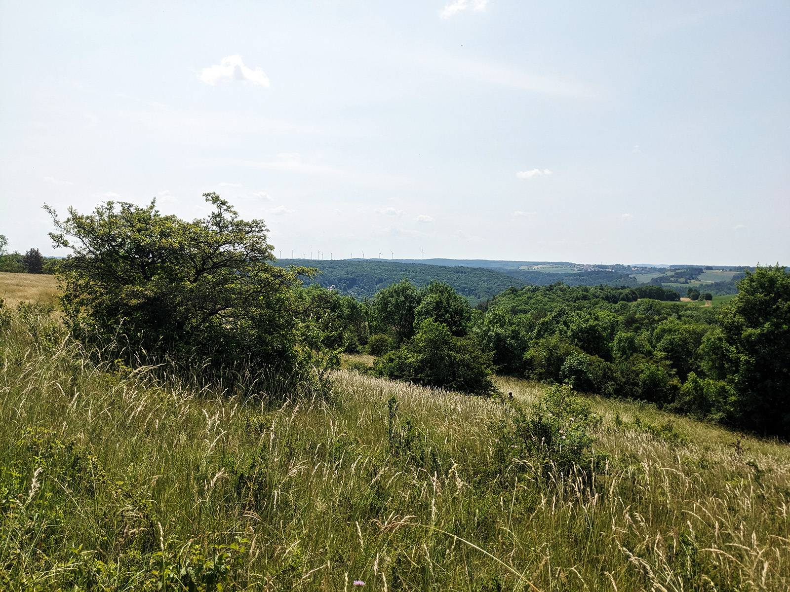
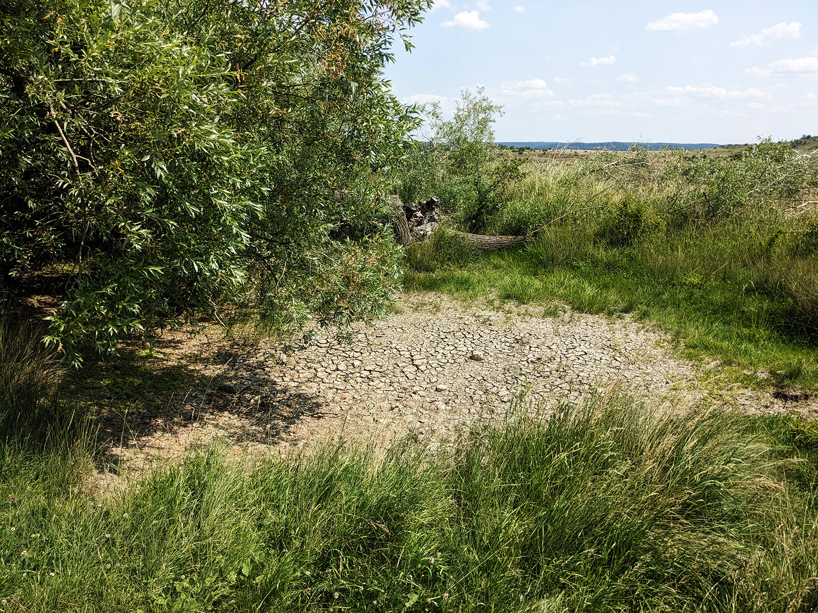
As mentioned earlier, it was warm and sunny on that day. This was particularly noticeable in the open field, but luckily we had sun hats or similar items with us. The paths, however, were completely dry, creating the impression of a vast savannah. At one of the stations, the focus was supposed to be on a small pond with a biotope… but it too was completely dried up.
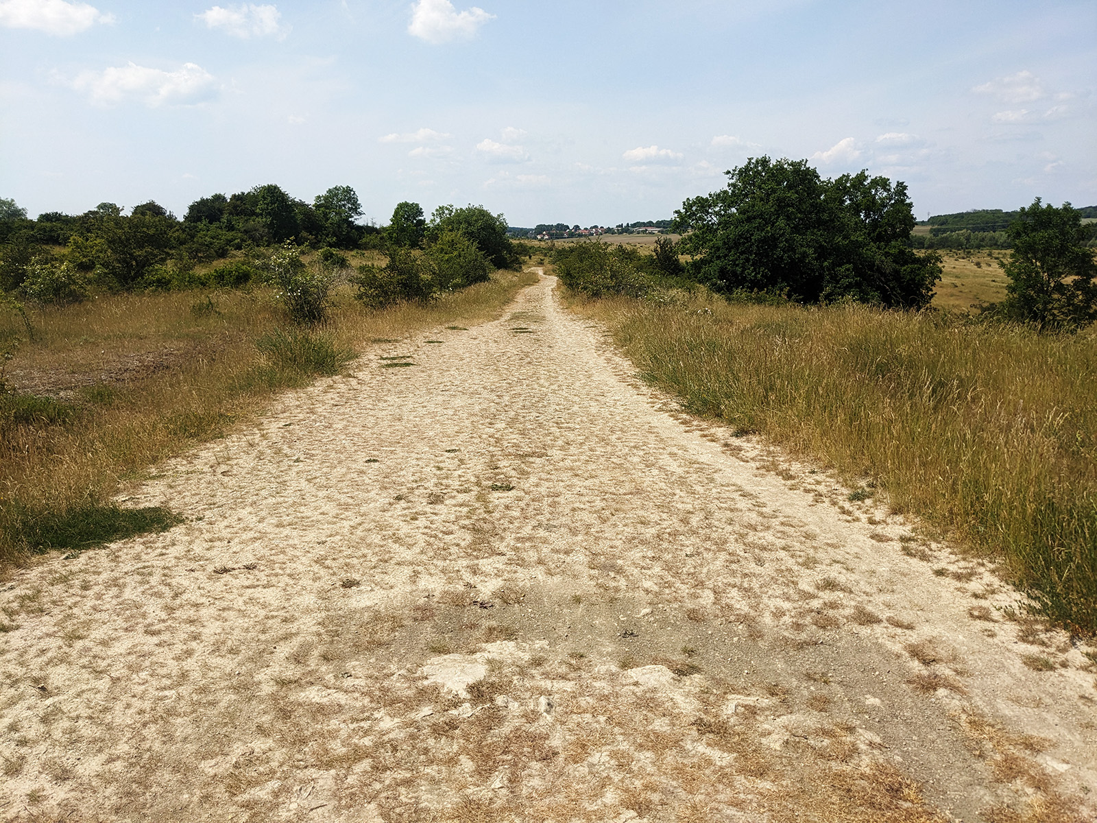
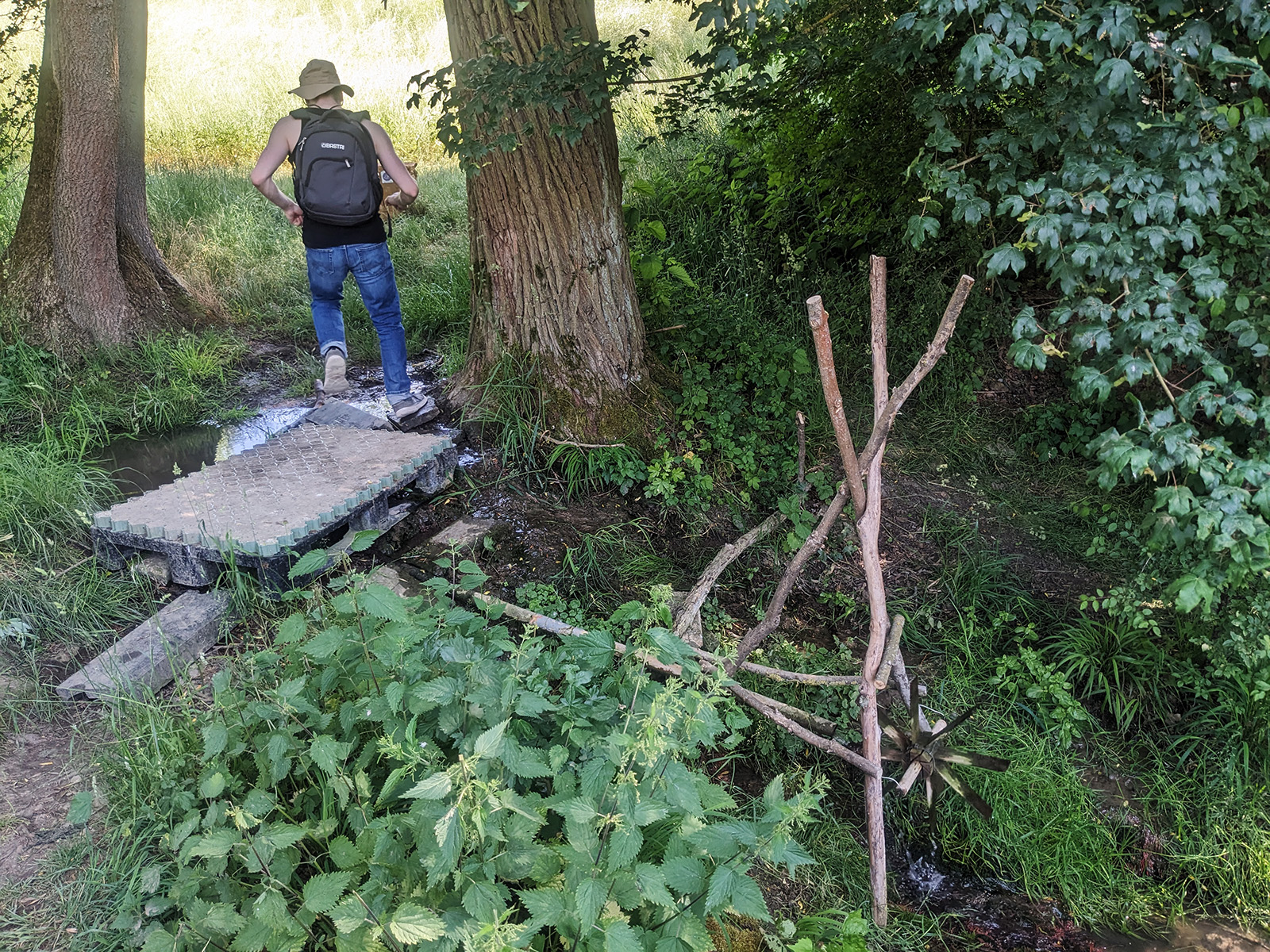
Along the way, we occasionally got slightly lost. This was partly due to certain paths deviating slightly from how they were marked on the app’s map (sometimes due to ongoing construction work), but also because some paths were almost completely overgrown with plants and bushes. This made us wonder whether the organization responsible for the app or the maintenance of the hiking trails was properly taking care of them. René was the only one wearing long pants. The rest of us complained a bit when we had to pass through dense bushes, stinging nettles, or encountered swarms of mosquitoes in the forest. At one point, we were supposed to cross a stream, but we didn’t see a proper bridge. There was only a makeshift bridge made of a pallet, which we had to balance on to cross.
After approximately 2 hours, we finally completed the entire circular trail. When we arrived back at the starting point, we were fortunate enough to have the next bus arrive in less than 15 minutes, which would take us back to the city. On Sundays, the bus only ran every 2 hours, so if necessary, we would have had to walk back to the city, which would have been another hour of walking, covering about 5 km (Nathalie: I wouldn’t have minded it 😉 ). Fortunately, we were able to take the bus back and ended the day at JEN, where we could enjoy delicious miso ramen to conclude our adventure.